.png)

Physically grounded environments for real-time interactive worlds
We produce digital environments derived from real locations and structured for use in video game pipelines. These environments preserve real-world scale, spatial relationships, and surface complexity, enabling game worlds that are grounded in measurable reality rather than approximation.
Our focus is on environments that can be navigated, interacted with, and extended in real time while maintaining geometric coherence and predictable spatial behavior.

Built for real-time engines and production constraints
Game-ready environments are optimized to meet real-time performance requirements without sacrificing spatial integrity. Assets are structured with consistent scale, clean topology, and LOD hierarchies suitable for large, explorable environments.
Collision geometry, navigation logic, and world alignment are treated as first-class constraints, ensuring that environments behave reliably during gameplay, level design, and iteration.

Use cases
Our environments are used in video game production contexts such as:
-
Real-world based level design
-
Open or semi-open environment construction
-
Exploration-focused gameplay spaces
-
Historically or geographically grounded worlds
-
Reusable environment libraries for long-term projects

From captured reality to playable space
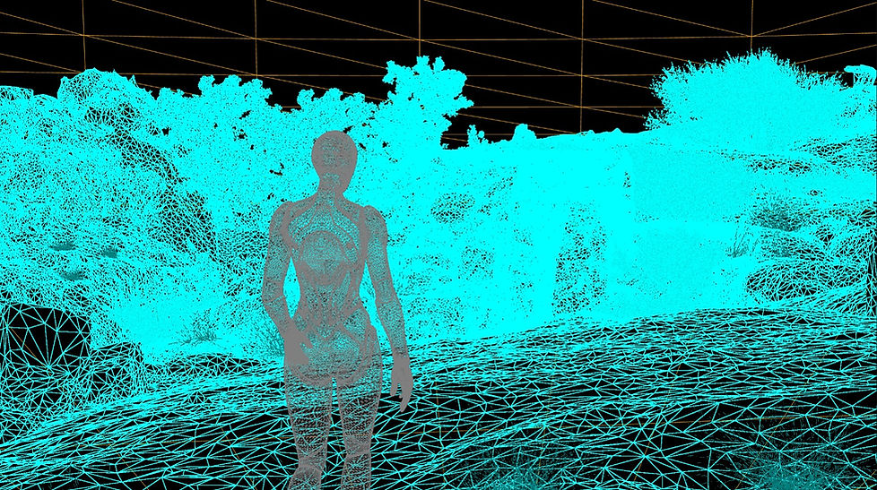
We combine photogrammetry, LiDAR where required, and multi-scale acquisition to capture real locations and transform them into interactive game environments. The same spatial dataset is preserved through capture, reconstruction, optimization, and engine integration.
This allows level designers and technical teams to work from environments that retain real-world proportions and spatial logic, reducing reinterpretation and manual reconstruction.
Why spatial accuracy matters in games
Spatially reliable environments support better navigation, consistent scale perception, and believable interaction. When environments are grounded in reality, gameplay systems align more naturally with space, reducing friction during design, testing, and iteration.
This approach enables teams to build game worlds that feel coherent and navigable, while retaining the flexibility required for creative and mechanical design.

Featured projects
1. Video game demo
This demo was developed using a spatially accurate digital twin of the Castle of Pioz, a 15th century fortress located in Guadalajara, Spain. The environment was reconstructed from real world data and deployed in Unreal Engine as a playable scene, preserving scale, geometry, and material detail for interactive use.
2. Physically scanned objects used as modular assets for game environments.
These digital twins capture real-world wear, material complexity, and scale, enabling their reuse as grounded props in post-apocalyptic and realistic interactive worlds without relying on synthetic asset generation.
